The Nakasendo route from Midono-juku to Nojiri-juku was originally a road along the Kiso River. Since the road between these points was often blocked by landslides and other obstacles, the Yogawa route, a road over the mountains, was built as an alternative route. While the Nakasendo along the river has hardly retained its original form due to the construction of national highways and railroads, the Yogawa road retains quite a few vestiges of the old highway.
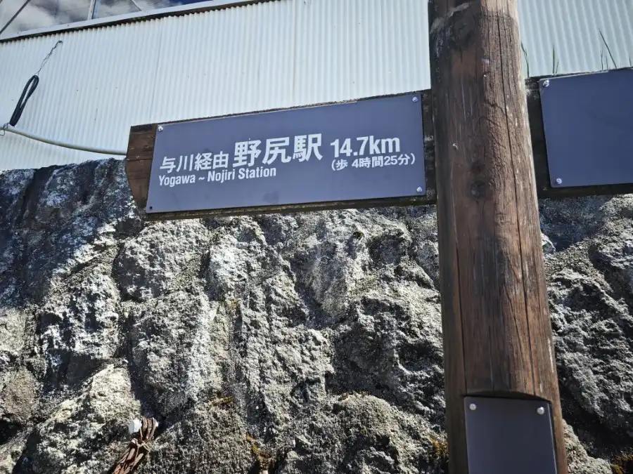
However, the Yogawa Course is 15 km long and has a large elevation gain, making it a tough road to walk.
Course Guide of Midono- Nojiri hiking (Yogawa Route)
The following is a walking route from Midono-juku to Nojiri-juku.
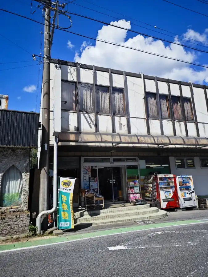
The Midono-juku is a short walk from JR Nagiso Station. There are stores and convenience stores around the Nagiso Station, so it is a good idea to buy lunch boxes and drinks. This is because there are no stores at all along the Yogawa Route.
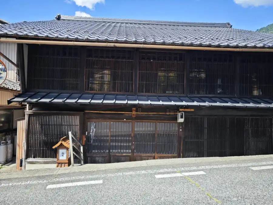
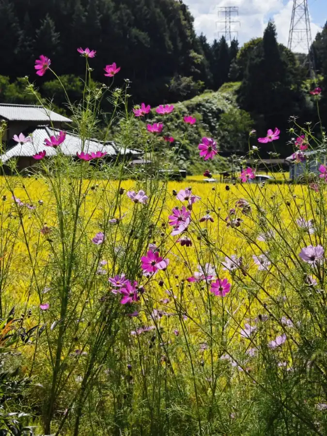
Although the town of Midono-juku retains only a trace of its former post town, there are no historic sites left to stop and see.
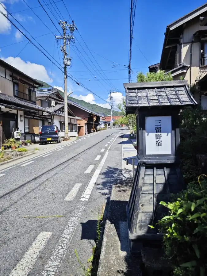
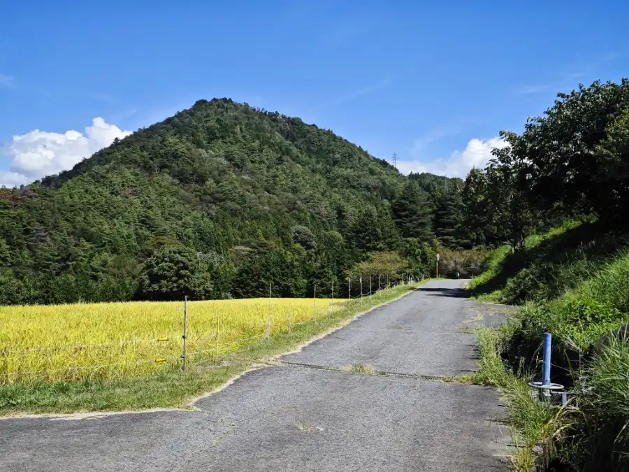
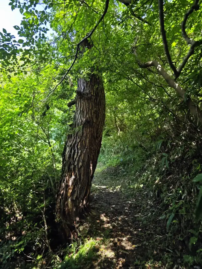
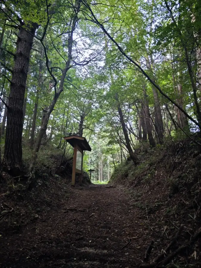
Walking for a while after leaving the Midono-juku, you will come to a branch of the Yogawa Route. Straight ahead is the road along the Kiso River. The Yogawa route is the one that goes up the hill to the right.
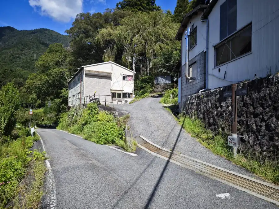
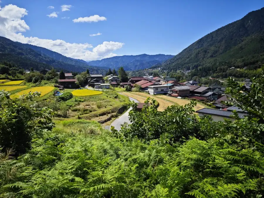
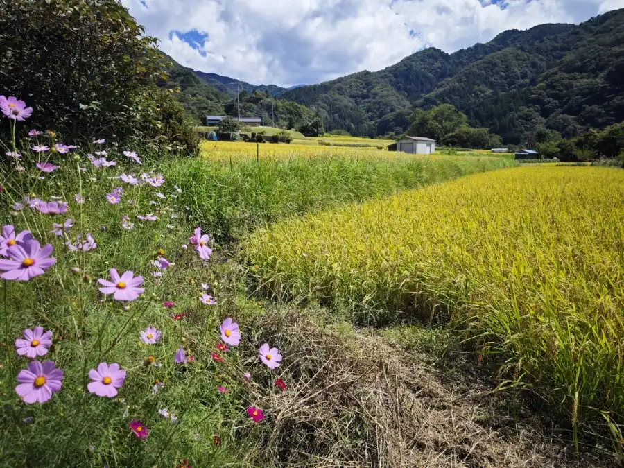
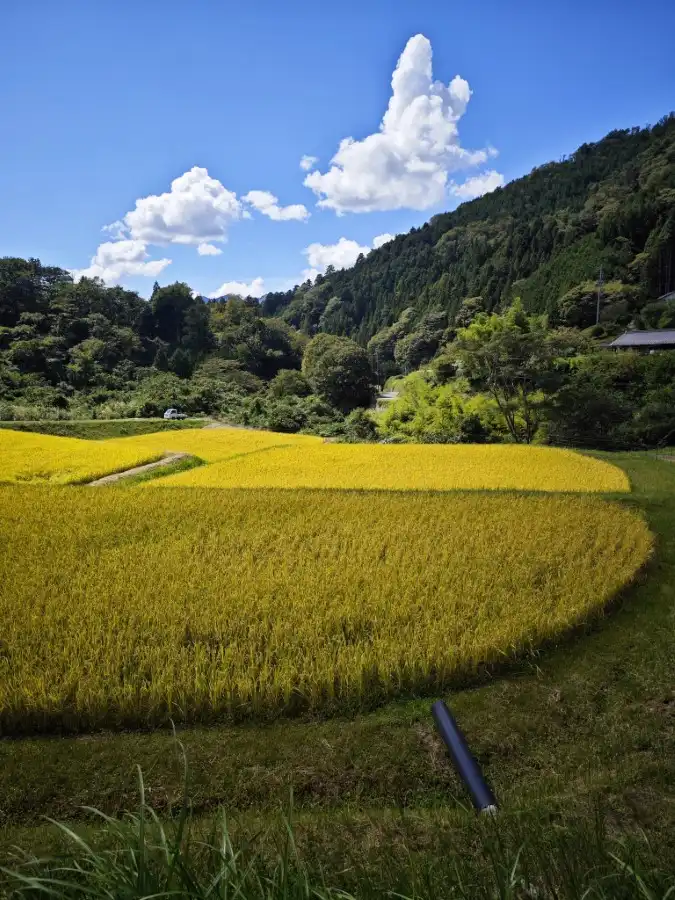
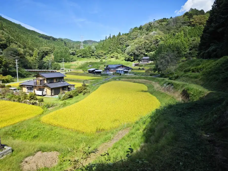
The road is paved for a while but continues to climb steeply. The scenery of the village of Midono-Juku is beautiful.
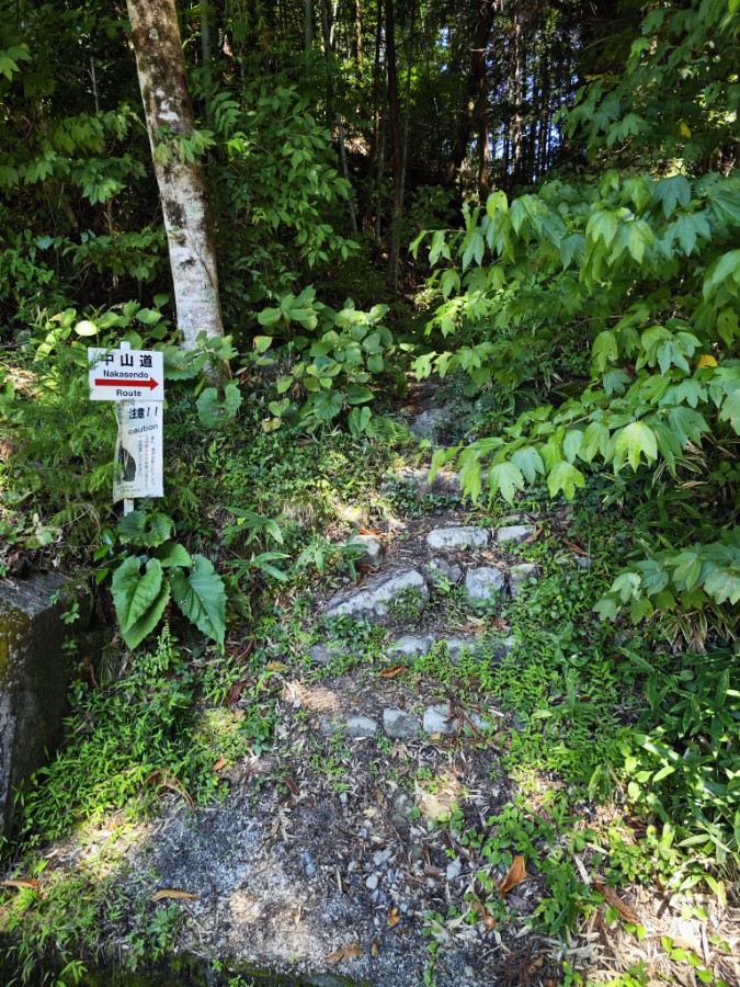
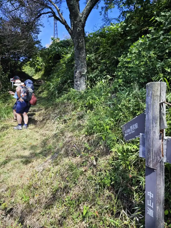
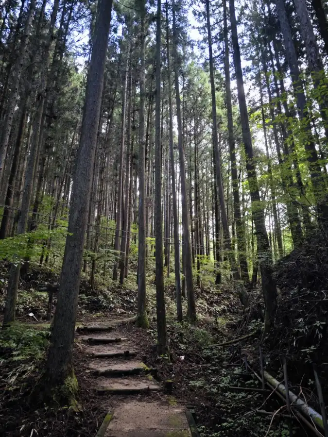
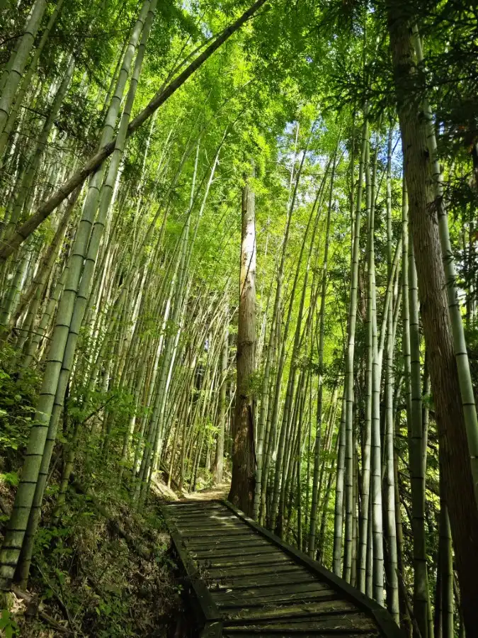
After climbing through the satoyama landscape for a while, you will come to a branch of an old road that leaves the paved road. This old road is only for a short section, but there is a sign warning of bears.
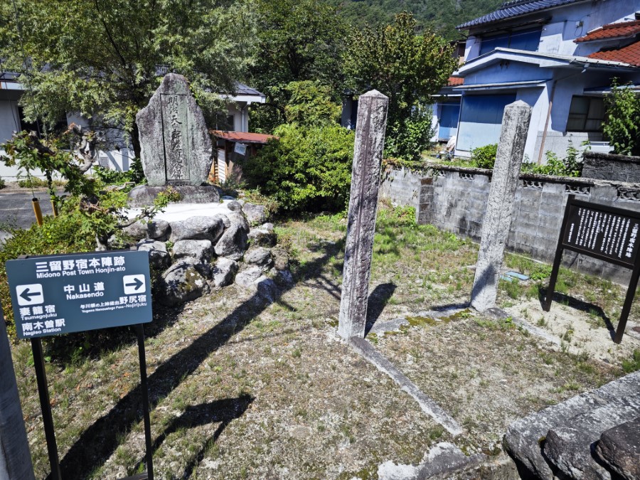
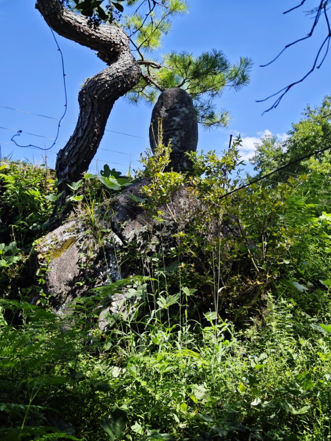
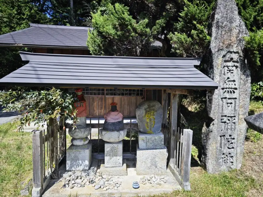
A short distance ahead, buried in the bushes, is the Twenty-three Nights Monument. It is said that farmers used to wait for the moon here on the 23rd night to pray for a good harvest.
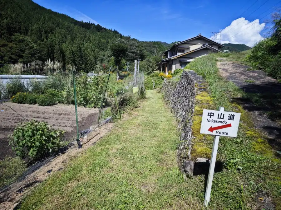
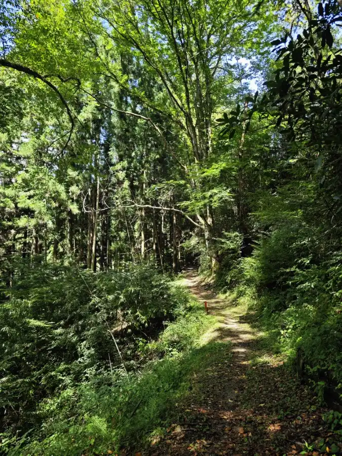
After climbing for a while on the roadway, the road branches off again to a mountain road. From here, the path repeats itself on the mountain road and the roadway to reach the pass.
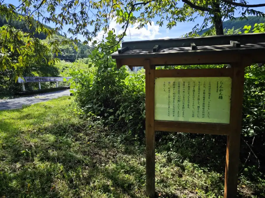
Eventually, there is a small bridge, which is the Rankanbashi Bridge. The name of the area is also Rankan. The name came from the fact that a bridge with a balustrade was built in the Edo period when a princess from Kyoto was married off in Edo (present-day Tokyo).
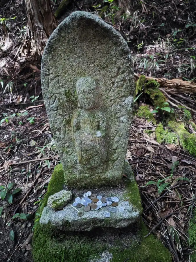
As you enter the mountain road leading to the pass, you will see a stone Buddha signpost. This is a stone Buddha that also serves as a guidepost, built in 1761.
The Nenoue Pass is located at the end of the mountain path from the stone-Buddha signpost. Visibility is poor and it is not a good place to rest.
From Nenoue Pass to Nojiri Station at Nojiri Inn, you simply descend along the road. There is almost nothing that retains the appearance of the old highway.
Start point of the tour
JR Nagiso Station will be the meeting and starting point. The goal is JR Nojiri station. It may be fun to walk from Nenoue Pass to Nagiso Station. From Nojiri-juku to Nenoue Pass, you will take a car.
Course time for Midono-Nojiri course
This course begins at JR Nagiso Station and takes about 5 hours.
Lunch
There are no stores or vending machines except around the station, so bringing your own lunch is recommended.
Toilet
There are public restrooms in places along the way.
What to bring and wear
Hiking style is recommended. Hiking shoes are recommended.
Ideal time for hiking Midono-Nojiri
You can visit here all year round, but it is best to avoid the hot summer months and when there is snowfall.
Neighborhood Attractions
If you are an able-bodied person, you can also combine this tour with the Tsumago-Midono hiking.
Leave a Reply